
The big one ·
The world's 10 weirdest borders, ranked
From a town where the border runs through front doors to a desert that two countries refuse to claim.
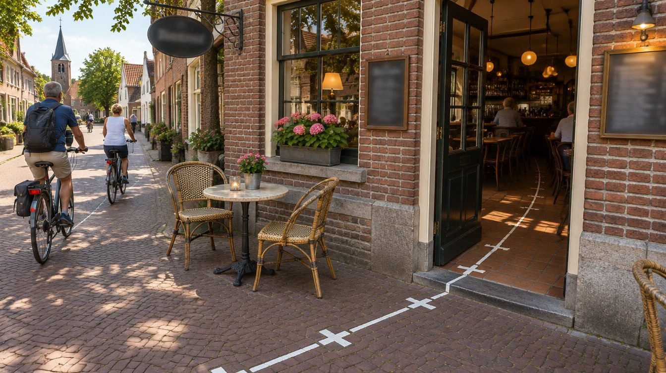
Most borders are dull: a river, a ridge, a line someone drew on a map a century ago. These ten are not. We ranked them by how strange they are to live with, not by how strange they look.
10. The Gambia: a river with a country around it
Gambia follows the Gambia River inland for hundreds of kilometres but is nowhere more than about 50 km wide. Apart from its short Atlantic coast, its only land neighbor is Senegal, which surrounds it on three sides.
9. Kaliningrad: Russia, but not attached to it
Russia's Kaliningrad Oblast sits on the Baltic between Poland and Lithuania, cut off from the rest of Russia by land. Getting there overland from Moscow means crossing at least one other country.
8. Bir Tawil: the land nobody claims
Two different lines drawn by British administrators (in 1899 and 1902) left a patch of desert between Egypt and Sudan that each country says belongs to the other. Claiming Bir Tawil would weaken each country's claim to the larger, more valuable Hala'ib Triangle nearby, so neither does.
7. Pheasant Island: the border that changes hands
A small island in the Bidasoa River between France and Spain is a condominium: it's administered by Spain for six months of the year and by France for the other six, an arrangement dating back to the 1659 Treaty of the Pyrenees.
6. Llívia: a Spanish town inside France
Llívia is a Spanish town completely surrounded by French territory in the Pyrenees. The same 1659 treaty handed France a set of named villages; Llívia was legally a town, not a village, so it stayed Spanish.
5. The Northwest Angle: Minnesota's chimney
That little notch on top of the US–Canada border is the Northwest Angle. A mistake in an 18th-century map of the Lake of the Woods left a piece of Minnesota that can only be reached by land by driving through Canada, or by crossing the lake.
4. Point Roberts: the US town on the wrong side of the 49th parallel
When the 1846 Oregon Treaty set the border along the 49th parallel, it sliced off the tip of a Canadian peninsula. That tip, Point Roberts, is part of Washington State, but the only land route in or out runs through British Columbia. Full story →
3. Three countries inside other countries
Lesotho is entirely surrounded by South Africa; San Marino and Vatican City are both entirely surrounded by Italy. Those are the only three. Full story →
2. Cooch Behar: the enclaves that are gone
Until 2015 the India–Bangladesh border held around 160 enclaves, including the world's only third-order enclave: a piece of India inside a piece of Bangladesh inside a piece of India inside Bangladesh. A land-boundary agreement swapped them in 2015, and residents chose which country to belong to.
1. Baarle: the town where the border runs through houses
Baarle-Hertog (Belgium) and Baarle-Nassau (Netherlands) form one town with a famously tangled border: more than 20 Belgian exclaves sit inside the Netherlands, and several Dutch pieces sit inside those Belgian ones. Lines on the pavement mark the border, and a house's nationality is traditionally set by where its front door is.
Want the whole list as a 12-minute video? It's the first episode on our YouTube channel.